
Top 12 Major And Longest Rivers in India
June 20, 2023
What Is The Importance Of Physical Education in India?
June 26, 2023List of Neighboring Countries of India
India is the most populous country in the world, located near the Arabian Sea and the Bay of Bengal and sharing its border with several countries. Its land border is 15,106.7 km long, and its coastline is 7,516.6 km long.
At JBM Smart Start which is the best school in in Greater Noida, we take children for a virtual tour of the countries to bring forth their love for travel and know about our Neighboring countries and the world at large.
India has nine neighboring countries. Amongst the nine countries, two countries in the southeast share water borders with India – The Maldives in the Southwest and Sri Lanka in the southeast.
Seven countries that share land borders with India are Bangladesh to the east, Myanmar to the far East, China, Nepal, and Bhutan to the north, and Pakistan and Afghanistan to the Northwest.
Let’s delve into a comprehensive exploration of these countries.
9 Neighboring Countries of India
| Neighboring Country | Bordering States | Border Length |
|---|---|---|
| 1. Afghanistan | Jammu and Kashmir (POK Part) | 106 km |
| 2. Bangladesh | West Bengal, Mizoram, Meghalaya, Tripura, and Assam | 4156 km |
| 3. Bhutan | Arunachal Pradesh, Assam, Sikkim, and West Bengal | 699 km |
| 4. China | Jammu and Kashmir, Himachal Pradesh, Uttrakhand, Sikkim, and Arunachal Pradesh | 3488 km |
| 5. Myanmar | Arunachal Pradesh, Manipur, Mizoram, and Nagaland | 1643 km |
| 6. Nepal | Sikkim, West Bengal, Bihar, Uttar Pradesh, and Uttrakhand | 1751 km |
| 7. Pakistan | Jammu and Kashmir, Punjab, Gujarat, and Rajasthan | 3323 km |
| 8. Sri Lanka | Separated from India by the Gulf of Mannar | Sea Border |
| 9. Maldives | The south-west part of the Indian Ocean below the Lakshadweep Island | Sea Border |
Let us discuss which are the neighboring countries of India and essential information about them:
1. Sri Lanka
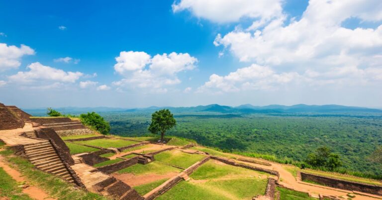
Sri Lanka is an island nation and India is its closest neighbor on both sides. It shares intellectual, cultural, religious, and linguistic interactions with India. Legends of Ravana, Hanuman, and Rama exist there.
The official languages of Sri Lanka are Sinhala & Tamil. Its current capital is Sri Jayawardenepura Kotte. Sri Lankan Rupee is the currency used in this country. The country covers 65,610 sq. km. in area and shares a sea border with India. The two countries are separated by the Gulf of Mannar.
The country is the largest exporter of black, green, and white tea. It is fascinating to know that Sri Lanka has more than 100 waterfalls. Sri Lanka and India fall in the same time zone.
Capital – Commercial capital is Colombo & Legislative capital is Jayewardenepura Kotte
Official languages – Tamil, Sinhala
Currency – Sri Lankan rupee (LKR)
State/Provinces – 9 States
Bordering states – The Gulf of Mannar separates it from India
Also Read: Top 12 Major And Longest Rivers in India
2. Maldives
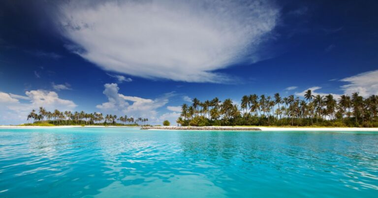
To the Southwest of India, we have – MALDIVES. The Republic of Maldives is an archipelagic state in South Asia situated in the Indian Ocean. It lies in the Southwest of Sri Lanka and India. The Maldives is a nation of islands in the Indian Ocean having 1142 islands.
The official language of Maldives is Dhivehi, which is also known as Maldivian. Its capital is Malé. The currency used in this country is Maldivian Rufiyaa. The Maldives cover around 9000 sq. km. in area and share a sea border with India and is located in the southwest part of the Indian Ocean below the Lakshadweep island.
It has the most delicate environment and coral reefs are the foundation of the Island. It is one of the most loved tourist destinations today. India is 30 mins ahead of Maldives.
Capital – Male
Official languages – Dhivehi
Currency – Maldivian Rufiyaa
State/Provinces – 1
Bordering states – lies below the Lakshadweep Island in the southwestern part of the Indian Ocean.
3. Bangladesh

Bangladesh is located to the east of India on the Bay of Bengal. The official language of the country is Bengali. Its capital is Dhaka and the currency used in the country is Bangladeshi Taka.
Bangladesh covers 148,460 sq. km. in area and shares a land border of 4,156 with five Indian states – West Bengal, Mizoram, Meghalaya, Tripura & Assam.
Bangladesh has many waterways and lush greenways fertile plains, because of their rivers the Sundarbans, an enormous mangrove forest is shared with Eastern India and houses the famous Bengal Tiger.
The country has a vibrant history, culture, and beautiful landscapes. There are more than 100 rivers in Bangladesh, they export beautiful textiles. Bangladesh is 30 mins ahead of India in time.
Capital – Dhaka
Official languages – Bengali
Currency – Bangladeshi Taka
Sate/ Provinces – 8 Provinces
Bordering states – West Bengal, Mizoram, Meghalaya, Tripura & Assam
Also Read: List Of Young Ones Of Animals
4. Myanmar

Myanmar was previously called ‘Burma’. Buddhism is the main religion that is practiced here. The official language of Myanmar is Burmese and its capital is Naypyidaw.
Burmese Kyat is the currency used in this country and it covers 676,578 sq. km. Myanmar shares a land border of 1,643 with four Indian states – Arunachal Pradesh, Mizoram, Manipur & Nagaland.
Myanmar is one hour ahead of India. This Southeast Asian nation has more than 100 ethnic groups, bordering India, Bengal China, Laos, and Yangon.
Kyaiktiyo Zedi commonly known as Golden Rock at 1100 meters above sea level is a place of pilgrimage for Myanmar Buddhists. The famous festivals celebrated in India include Thingyan, Kasone, Nayon.
Capital – Naypyidaw
Official languages – Burmese
Currency – Burmese Kyat
Bordering states – Arunachal Pradesh, Nagaland, Mizoram, and Manipur
5. Pakistan

The official name of Pakistan is the “Islamic Republic of Pakistan”. The Arabian Sea bounds this country in the south. The official language of Pakistan is Urdu. Its capital is Islamabad.
Pakistan is situated in the Northwest of India. Pakistani Rupee is the currency used in this country. Pakistan covers 796,095 sq. km. in area and borders Afghanistan, China, India, and Iran.
The nation shares a land border of 3,323 km with the Indian states of Gujarat, Rajasthan, Punjab & Jammu Kashmir. India is 30 minutes ahead of Pakistan. India and Pakistan share linguistic, cultural, geographical, and economic links as they have complex relations because of historical and political events.
Pakistan is famous for its geographical magnificence because it has hills, peaks & valleys. World’s second-largest salt mines are located in Pakistan. The world-famous Pink Himalayan salt is also mined in Pakistan.
Capital – Islamabad
Official languages– Urdu, English
Currency – Pakistani rupee
State/Provinces – 4 Provinces
Bordering States – Jammu & Kashmir, Punjab, Gujarat & Rajasthan
6. Afghanistan
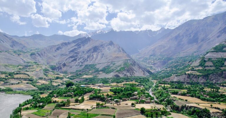
Officially the “Islamic Emirates of Afghanistan” is a landlocked country located at the crossroads of Central and South Asia. The geography of Afghanistan is arid and mountainous.
The official languages of Afghanistan are Dari & Pashto. Its capital is Kabul. Afghani Afghan is the currency used in this country. Afghanistan covers 652,864 sq. km. in area and shares a land border of 106 km with Jammu & Kashmir (Pok).
Afghanistan is one hour ahead of India. India & Afghanistan have a strong relationship based on historical and cultural links. India has played a significant role in the reconstruction after the war. Afghanistan is rich in natural resources and minerals.
Capital – Kabul
Currency – Afghan Afghani
State/Provinces – 34 Provinces
Bordering states – Jammu & Kashmir ( P.O.K.
Also Read: 50+ Vegetable Names in English
7. China

China is officially known as the “People’s Republic of China”. The country is located to the north of India.
Chinese people speak Mandarin and practice Buddhism, Taoism, and Islam. Its capital is Beijing. Chinese Yuan is the currency used in this country.
China covers 9.6 million sq. km. in area and shares a land border of 3488 km with Jammu Kashmir, Himachal Pradesh, Uttrakhand, Sikkim, and Arunachal Pradesh. China is two and a half hours ahead of India.
Today, China is the cultural, political, and economic center of the world. China is home to one of the world’s oldest civilizations but has only recently become a modern nation. It has changed rapidly in the last 20 years.
Capital – Beijing
Official languages – Mandarin
Currency – Chinese Yuan
State/Provinces – 26 Provinces
Bordering states – Jammu & Kashmir, Sikkim, Himachal Pradesh, Arunachal Pradesh & Uttarakhand
8. Nepal
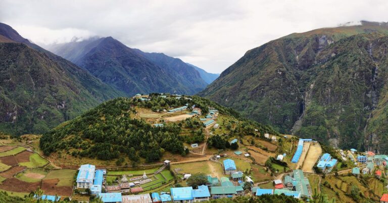
Nepal is the closest neighbor of India. The official language of Nepal is Nepali. Its capital is Kathmandu. The Nepalese Rupee is the currency used in this country. Nepal covers 147,181 sq. km. in area and shares a land border of 1,751 with six Indian states – West Bengal, Uttar Pradesh, Uttrakhand, Bihar & Sikkim.
Nepal is 15 mins ahead of India. We share unique ties of friendship and cooperation, highlighted by people-to-people contact of kinship and culture. People freely move across the border. Indian passport holders do not require a visa to travel to Nepal.
The top places to see in Nepal are Pashupatinath Temple for devotees of Shiva, Buddha Stupa, and Lumbini Grove. Most importantly, Nepal has the great Himalayas range with some of the world’s highest peaks.
Capital – Kathmandu
Official languages – Nepali
Currency – Nepalese rupee
State/Provinces – 7 Provinces
Bordering states – West Bengal, Sikkim, Uttarakhand, Bihar & Uttar Pradesh
9. Bhutan
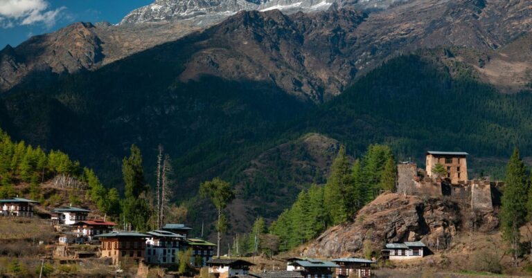
The kingdom of Bhutan is in South Asia situated in the eastern Himalayas between China in the north and India. The Buddhist-practicing country is known for its monasteries, fortresses, and landscapes that swing between plains, mountains, and valleys.
The official language of Bhutan is Dzongkha. Its capital is Thimphu. Bhutanese Ngultrum is the currency used in this country. Bhutan covers 38,394 sq. km. in area and shares a land border of 4,156 with four Indian states – Arunachal Pradesh, Sikkim, West Bengal & Assam. Bhutan is 30 mins ahead of India.
Bhutan is called the happiest country in the world because their spiritual beliefs make them people who believe in simple living and high thinking. India and Bhutan share a unique and time-tested bilateral relationship consisting of trust, goodwill, and mutual understanding.
Capital – Thimphu
Official languages – Dzongkha
Currency – Ngultrum (BTN)
State/Provinces – 20 States
Bordering states – Arunachal Pradesh, Assam, Sikkim, and West Bengal
Conclusion
Every country needs good neighbors as friendly relations between adjoining nations are essential to maintain peace and progress in the region.
A good relationship with the neighboring countries results in better internal development of the nations, a wholesome exchange of thoughts and ideas, and good trade relations. Thus, every country shall strive to maintain them as does India.
Frequently Asked Questions
India shares long land borders with seven of its neighboring countries – China, Nepal, and Bhutan to the north, Pakistan and Afghanistan to the northwest, Bangladesh to the east, and Myanmar to the far east.
Bangladesh shares the longest border with India. The length of the boundary shared by India & Bangladesh is 4,096.7 Km. It is the fifth-longest land border in the world.
The nine neighboring countries of India are the Maldives in the Southwest, Sri Lanka in the southeast, Bangladesh to the east, and Myanmar to the far East, China, Nepal, and Bhutan to the north, and Pakistan and Afghanistan to the Northwest.


